
 | ||
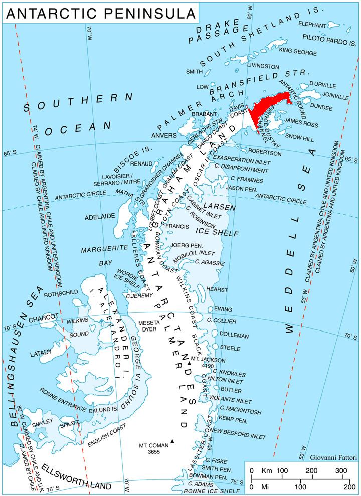
Abrit Nunatak (Bulgarian: нунатак Абрит, ‘Nunatak Abrit’ \'nu-na-tak a-'brit) is the rocky hill rising to over 400 m east of Laclavère Plateau on Trinity Peninsula in Graham Land, Antarctica. It is overlooking Mott Snowfield to the north and Retizhe Cove to the southeast.
Contents
The nunatak is named after the settlement of Abrit in Northeastern Bulgaria.
Location
Abrit Nunatak is located at 63°26′46″S 57°31′10″W, which is 4.47 km northeast of Theodolite Hill, 2.49 km east by south of Urguri Nunatak, 8.2 km south by east of Fidase Peak and 4.83 km southwest of Camel Nunataks. German-British mapping in 1996.
Maps
References
Abrit Nunatak Wikipedia(Text) CC BY-SA