
District 2nd district Barangays Area 807.3 km² Population 32,209 (2010) | Founded June 28, 1949 Time zone PST (UTC+8) Local time Tuesday 11:40 PM | |
 | ||
Weather 26°C, Wind NE at 11 km/h, 85% Humidity | ||
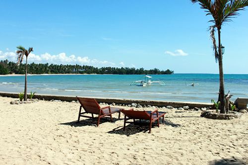
Aborlan is a first class municipality in the province of Palawan, Philippines. It lies in a vast plain between the Sulu Sea and the mountains. It is located 69 kilometres (43 mi) south of Puerto Princesa City. According to the 2010 census, it has a population of 32,209 people.
Contents
- Map of Aborlan Palawan Philippines
- Philippines estrella falls aborlan ivhq volunteers focus sylvia
- Barangays
- References
Map of Aborlan, Palawan, Philippines
Aborlan was made into a regular municipality on June 28, 1949, by virtue of Executive Order No. 232. In 1951, it lost the barrios of Berong and Alfonso XII when these were transferred to the then newly created town of Quezon.
It is the only town in the province with an agricultural college, now called the Western Philippines University. It was founded in 1910.
Philippines estrella falls aborlan ivhq volunteers focus sylvia
Barangays
Aborlan is politically subdivided into 19 barangays.
References
Aborlan Wikipedia(Text) CC BY-SA