
Intercommunality Haute Picardie Area 9.46 km² | Canton Ham Population (2014) 275 Local time Tuesday 3:47 PM | |
 | ||
Weather 6°C, Wind W at 24 km/h, 76% Humidity | ||
Ablaincourt-Pressoir is a commune in the Somme department in Hauts-de-France in northern France.
Contents
- Map of 80320 Ablaincourt Pressoir France
- Communes de la somme ablaincourt pressoir
- Geography
- Etymology Ancient forms of the names
- History
- Demographics
- People
- References
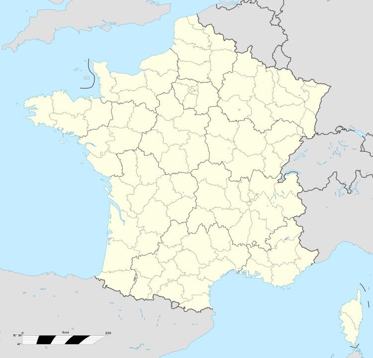
Map of 80320 Ablaincourt-Pressoir, France
The two villages were formerly separately administered, but were joined in 1966.
Communes de la somme ablaincourt pressoir
Geography
Ablaincourt-Pressoir is found in the Santerre sub-region, where early French Kings made their base, at Noyon.
The town is in a strategic position close to the intersections of the A1 Paris-Lille autoroute and the A29 autoroute between Amiens and Saint-Quentin. Two departmental roads meet nearby (the D150 and the D164). The town also an international TGV rail station, the Gare TGV Haute-Picardie, nicknamed "The sugar-beet station" named after the predominant crop of the area.
Etymology; Ancient forms of the names
Abatix Curtis, Habelini Curtis (1046), Ablani Curtis, Ableni Curia (1106), Abbecourt (1144), Abiaucourt (1215), Ablaincort (1230), Ablincourt (1733) and finally, Ablaincourt, which signifies an abbey.
Pressurs or Drêsur (1180).
History
In 1215, Jean I de Nesle built a castle here. Remains of the motte can still be seen, which marks out the position of the keep.
In 1648, possession of the fiefdom of Ablaincourt passed from the Blattepière family to the Mathieu family.
During World War I Ablaincourt et Pressoir were at the centre of the Battle of the Somme. Both communes were totally ruined by the fighting.
Demographics
The 2 communes were still separate.
The 2 communes were still separate.