
Postcode(s) 4627 Abercorn Yarrol | Postal code 4627 Local time Tuesday 9:47 PM | |
 | ||
Weather 24°C, Wind E at 10 km/h, 70% Humidity | ||
Abercorn is a town and rural locality in the North Burnett Region, Queensland, Australia.
Contents
Map of Abercorn QLD 4627, Australia
Geography
The Burnett River forms the eastern boundary of Abercorn. Three Moon Creek passes close to the town and across the locality into the Burnett River. The Burnett Highway passes through the locality but there is no direct access from the highway to the town; to get to Abercorn, the turn-off from the highway is onto Wuruma Dam Road at Cynthia. There is a state forest in the north of the locality extending into Kapaldo.
History
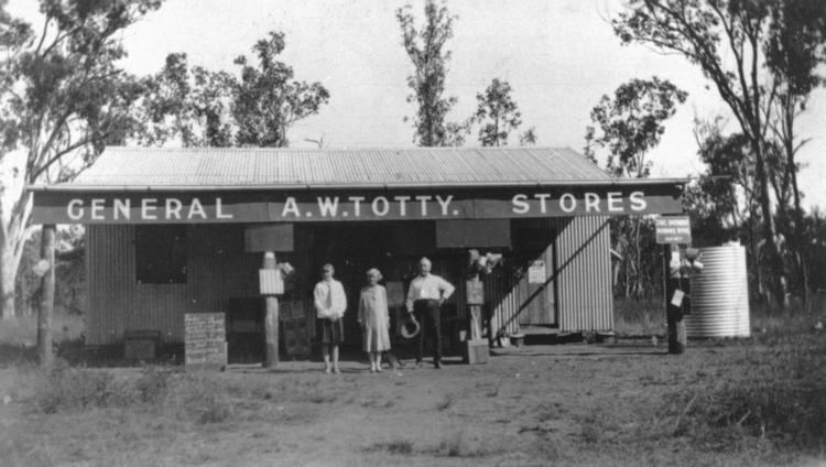
The town is believed to be named after a thoroughbred horse from the area.
Abercorn State School opened on 3 May 1927.
A post office opened in Abercorn about February 1928; it closed on 11 June 1986.
Education
Abercorn State School is a government primary (P-7) school located at 957 Wuruma Dam Road (25.136508°S 151.127706°E / -25.136508; 151.127706 (Abercorn State School)). In 2012, the school had an enrolment of 21 students in a single classroom with 3 teachers (1.5 full-time equivalent). There is no secondary school in Abercorn; the nearest one is in Monto.
Attractions
Abercorn is the gateway to Wuruma Dam used for water sports and fishing.