
Country France | ||
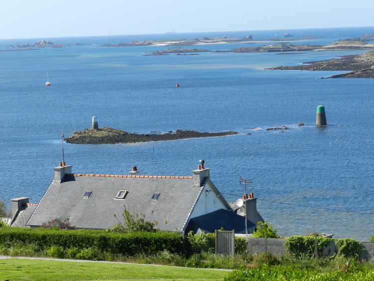 | ||
The Aber Wrac'h is a small village and port located on the river Wrac'h in the commune of Landéda in the department of Finistère in France, located in Brittany.
Contents
- Map of LAber Vrach 29870 LandC3A9da France
- Vol drone lilia plouguerneau k razan l aber wrac h
- Origin of the name
- History
- Islands in the vicinity of Aber Wrach
- Recreation
- References
Map of L'Aber Vrac'h, 29870 Land%C3%A9da, France
The Wrac'h's source is Trémaouézan. It travels through Ploudaniel, Folgoët, Lannilis and Plouguerneau and enters the ocean in the estuary between the Sainte Marguerite peninsula and the headland of the Virgin Island.
Vol drone lilia plouguerneau k razan l aber wrac h
Origin of the name
The Aber Wrac'h derives its name from the first immersed rock of its channel, “Ar Gwrach” which means “the old woman” (the fish).
An alternative theory is that the name is derived from the “estuary of the fairy” which may be related to the alleged Gallo-Roman bridge located upstream of the river mouth (ruins still visible today) named Bridge of the Devil.
British accounts of the 18th and 19th Century give the town's name as Averach.
History
The United States Navy established a naval air station on 4 June 1918 to operate seaplanes during World War I. The base closed shortly after the First Armistice at Compiègne.
Islands in the vicinity of Aber Wrac'h
They following archipelago of is also referred to as the islands of Lilia :
Recreation
The town is a popular location and base for sailing, windsurfing and kitesurfing.