
Population 199 (2011) Civil parish Abdon Local time Tuesday 9:08 AM | OS grid reference SO576863 Dialling code 01746 | |
 | ||
Weather 1°C, Wind W at 14 km/h, 92% Humidity | ||
Abdon is an upland village and civil parish in the Clee Hills area of English county of Shropshire.
Contents
Map of Abdon, UK
Domesday Book Village
It was called Abetune in the Domesday Book.
Clee Hills
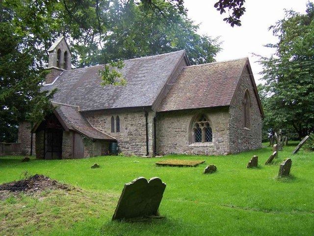
Abdon is a remote rural hamlet on the slopes of the Brown Clee Hill. The population currently stands at approx. 28 dwellings. The hamlet includes a parish church (St Margaret's), a village hall and the remains of a deserted medieval village. The hamlet is very close to the remains of an Iron Age hill fort now known as Nordy Bank, situated on the southern end of the Brown Clee. Abdon has a lively community, with regular events at the village hall.
The Abdon parish registers begin in the 1560s but are only complete from 1614 on, with a gap from 1641-9.
Civil parish
The civil parish is large and includes other settlements, including Tugford and Holdgate which were transferred into the parish in the late 20th century.