
Length 3.7 mi (6.0 km) | North end Market Street | |
 | ||
Postal code LA13 (east)LA14 (south and west)LA15 (north) South end Hindpool Road (A590/A5087) | ||
Abbey Road is the principal north to south arterial road through Barrow-in-Furness, Cumbria, England.
Contents
Background
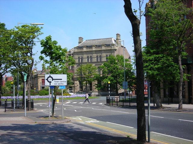
Abbey Road's name derives from Furness Abbey, a former cistercian monastery, which lies along the route of the road. Beginning at Market Street in the centre of Dalton-in-Furness it runs 3.7 miles (6.0 km) south to terminate at Hindpool Road close to the centre of Barrow where the A590 and A5087 merge. Abbey Road predates Barrow itself, although it was substantially upgraded to its current appearance during the mid-19th century when the town was undergoing dramatic growth. The 2.5 miles (4.0 km) of Abbey Road that runs through Barrow is a treed-lined boulevard with multiple lanes, while the northern section of the road beyond Mill Brow is single lane, winding and more rural in nature. Sites along Abbey Road include Dalton town centre, Furness General Hospital, Barrow Park, Barrow-in-Furness railway station, Barrow town centre and endly several of Barrow's retail parks.
Up until 1932, the Barrow-in-Furness Tramways Company operated a tram line along Abbey Road from Ramsden Square to the current location of Furness General Hospital.
Junctions and intersections
Significant intersections on the system include (from north to south):
Listed buildings
The southern stretch of Abbey Road from Rawlinson Street to Hindpool Road lies entirely within the Central Barrow Conservation Area, the list below includes every listed building located on Abbey Road.