
Area 3.2 km² | Local time Tuesday 7:00 AM | |
 | ||
Region Bourgogne-Franche-Comté Intercommunality Communauté de communes Loue-Lison Weather 5°C, Wind S at 16 km/h, 82% Humidity | ||
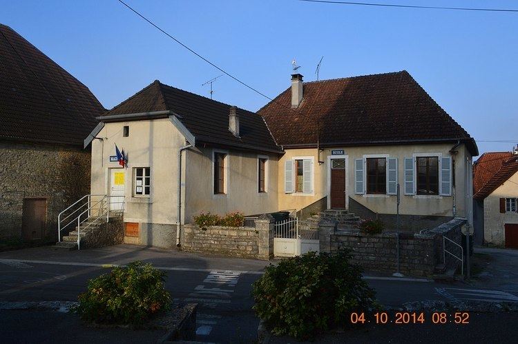
Abbans-Dessous is a French commune in the Doubs department in the Bourgogne-Franche-Comté region of eastern France.
Contents
- Map of 25320 Abbans Dessous France
- Geography
- Toponymy
- History
- Administration
- Intercommunality
- Demographics
- Sites and monuments
- References
Map of 25320 Abbans-Dessous, France
The inhabitants of the commune are known as Abbanais or Abbanaises.
Note that this commune is not the same as Abbans-Dessus.
Geography
Abbans-Dessous is located some 20 km south-west of Besançon and 2 km south-east of Osselle. Access to the commune is by road D105 from Byans-sur-Doubs in the south-east passing through the commune and the village and continuing north-east to Boussières. The D466 road goes south-east from the village then north-east to join the D107 at the north-eastern corner of the commune. The commune is mixed forest and farmland.
The commune is situated on the south bank of Le Doubs River where it loops south after flowing from the Jura mountains in Switzerland in a U-shaped course through Besançon before passing along the northern border of Abbans-Dessous then feeding into the Saône River at Verdun-sur-le-Doubs.
Toponymy
Abbans appears in the forms:
The name is based on a German man's name Abbo with the Germanic suffix -ing.
History
The history of Abbans-Dessous (previously called Abbans-la-Ville) can not be separated from that of Abbans-Dessus (previously called Abbans-le-Château). At the lower end is a church surrounded by a cemetery, the priory of Lieu-Dieu, a mill on the Doubs river; at the upper end are the two châteaux - Front and Rear - which preceded their respective villages.
Administration
List of Successive Mayors of Abbans-Dessous
(Not all data is known)
Intercommunality
Abbans-Dessous is a member of the Community of communes of Val-Saint-Vitois which was created on 14 December 2001. It comprises 16 communes namely:
Demographics
In 2012 the town had 234 inhabitants. The evolution of the number of inhabitants is known through the population censuses conducted in the town since 1793. From the 21st century a census of municipalities with fewer than 10,000 inhabitants is held every five years, unlike larger towns that have a sample survey every year.
Sources : Ldh/EHESS/Cassini until 1962, INSEE database from 1968 (population without double counting and municipal population from 2006)