
Time zone PST (UTC+5) | ||
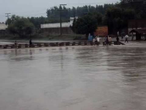 | ||
Abazai is a town and union council in Charsadda District of Khyber Pakhtunkhwa province of Pakistan. It is part of Tangi Tehsil and is located at 34°19'7N 71°35'35E and has an altitude of 320 metres (1053 feet) lying to the north-west of the district capital Charsadda and 24 miles north of the provincial capital Peshawar on the left bank of the Swat river, and a mile from its exit from the hills.
Contents
Map of Abazai, Pakistan
History
During British rule, it was a fort and village of Charsadda Tehsil - then part of Peshawar District.
The Imperial Gazetteer of India, compiled over a century ago describes the village and fort as follows:
Agriculture
Agriculture is the main livelihood of Abazai's residents. The major crops grown in the region are Wheat, Maize, sugarcane,fruits and vegetables . Fruits specially Mangoes are very famous in Summer season in Abazai. Mangoes of Abazai are of the finest quality a nature can produce due to which they are very famous not only in abazai but also in Khyber Pakhtunkhwa and Pakistan. In winter orange (fruit), Kinnow and sugarcane is grown by the residents and the Jaggery, made from cane juice are very popular .