
Length 134 km | Basin size 2,042 km (788 sq mi) Source elevation 54 m | |
 | ||
Main source Lestene swamp, Latvia47 m (154 ft) | ||
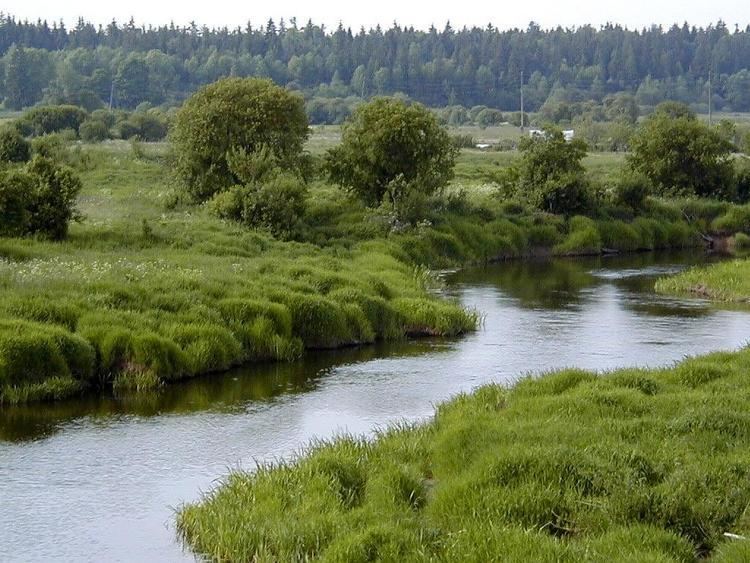
Abava venta 2015
The Abava is a river in Latvia and the largest tributary of the Venta. It flows through Tukums, Talsi and Kuldiga districts. 50% of the basin covered by forests.
Contents
- Abava venta 2015
- Map of Abava River PC5ABres pagasts Latvia
- Abava
- Characterictics of the river
- References
Map of Abava River, P%C5%ABres pagasts, Latvia
Its valley was submitted for inclusion in the UNESCO World Heritage List.
Abava
Characterictics of the river
The river begins at the Lestene-ENAV marsh, on the eastern side of the Eastern Highlands at an elevation of 54 metres above sea level. The upper Abava is straightened, and flows in a northerly direction. At Kandava, it turns westwards and follows a very winding course. It descends through a height of 51 metres. The river has a number of dolomite rapids with a velocity of 2 m/s. The second largest waterfall in Latvia, the Abava Waterfall (Latvian: Abavas rumba), is on this river.
References
Abava Wikipedia(Text) CC BY-SA