
Area 1,817 km² | Local time Tuesday 12:21 AM | |
 | ||
Weather 22°C, Wind N at 5 km/h, 87% Humidity | ||
Abaeté is a municipality in the north of the Brazilian state of Minas Gerais. In 2007 the population was 22,474 in a total area of 1,816 km². It became a municipality in 1870.
Contents
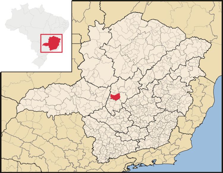
- Map of AbaetC3A9 State of Minas Gerais Brazil
- Conhe a abaet minas gerais
- Location
- Distances
- Etymology
- Economy
- Health and education
- References
Map of Abaet%C3%A9, State of Minas Gerais, Brazil
Conhe a abaet minas gerais
Location
Abaeté belongs to the statistical micro-region of Três Marias. It is located at an elevation of 641 meters between the São Francisco River and the Indaiá River. Neighboring municipalities are:
Distances
Etymology
Abaeté, of Tupi-Guarani origin, means strong man or brave man and was the word by which the local natives called themselves. The first name of the settlement was Nossa Senhora das Dores do Marmelada.
Economy
The most important economic activities are cattle raising, commerce, and agriculture. The GDP in 2005 was R$ R$162 million of which 89 million came from services. Abaeté is in the top tier of municipalities in the state with regard to economic and social development. In 2007 there were three banking agencies in the town. There was a small retail infrastructure serving the surrounding area of cattle and agricultural lands. There were 3,629 automobiles in all of the municipality (2007), about one for every six inhabitants.
In the rural area there were 989 establishments occupying 136,000 hectares. About 2,500 persons were employed in agriculture. 264 of the farms had tractors, a ratio of one in four farms. There were 87,000 head of cattle in 2006, of which 16,000 head were dairy cows. In permanent crops there were 4,400 ha. planted, while in perennial crops 4,700 ha. were planted (2006). The crops with a planted area of more than 200 hectares were sugarcane and corn.
Health and education
In the health sector there were 13 health clinics and 01 hospital with 60 beds. In the educational sector there were 10 primary schools and two middle schools.
The highest ranking municipality in Minas Gerais in 2000 was Poços de Caldas with 0.841, while the lowest was Setubinha with 0.568. Nationally the highest was São Caetano do Sul in São Paulo with 0.919, while the lowest was Setubinha. In more recent statistics (considering 5,507 municipalities) Manari in the state of Pernambuco has the lowest rating in the country - 0.467 -putting it in last place.