
District Baabda | Elevation 780 m | |
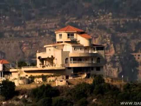 | ||
Abadiyeh (Arabic: العبادية; also spelled al-Abadiyah or Aabadiyeh) is a municipality in the Baabda District of Mount Lebanon Governorate, Lebanon. It is located 16 kilometers east of Beirut. There is one public school in the town, which had 345 pupils in 2006.
Contents
Map of Aabadiyeh, Lebanon
Geography
Abadiyeh has a land area of 916 hectares. Its average elevation is 780 meters above sea level. Neighboring localities include Chouit to the west, Beit Mery to the northwest, Ras el-Matn to the north, el-Halaliyeh to the east, Baalchemay to the southeast and Aley and Ain el-Jdeide to the south.
References
Abadiyeh, Lebanon Wikipedia(Text) CC BY-SA