
Grid position 167/278 PAL Governorate South Governorate Highest elevation 1,250 ft (380 m) | Country Lebanon District Tyre Time zone GMT +3 | |
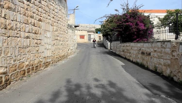 | ||
Aalma ech Chaab (علما الشعب) is a village in the Tyre District, in Southern Lebanon.
Contents
Map of Aalma El Chaeb, Lebanon
Name
According to E. H. Palmer, ’Alma means "a coat of mail"; while Shảub means "mountain spurs".
History
In 1875, during the late Ottoman era, Victor Guérin found here a village with 350 inhabitants, mostly Greek Orthodox, or Maronite.
In 1881, the Palestine Exploration Fund's Survey of Western Palestine (SWP) described it: “A large Christian village, containing about 500 inhabitants. The houses are clean and well built. There are two chapels, and the place seems increasing in size. It is situated on a ridge, with figs, olives, and pomegranates and arable land around. To the east and north the land is covered with brushwood. There is a spring within reach, and about thirty rock-cut cisterns in the village.”