
Length 49 km | Highway system Autoroutes of France | |
 | ||
The A54 autoroute is a toll motorway managed by ASF and is close to 80 km long.
Contents
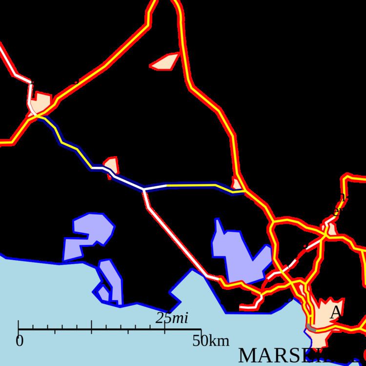
Map of A54, France
Route
The motorway connects Salon-de-Provence with Nîmes and merges with the N113 between Saint-Martin-de-Crau and Arles.
History
Its first section was opened south of Salon-de-Provence in 1970, at the same time as the section of the A7 between Sénas and Rognac.
In 1990, the portion between Nîmes and Arles was opened. It was connected to Saint-Martin-de-Crau and Salon-de-Provence in 1996.
Junctions
Future
A new motorway is proposed skirting Arles, ensuring the continuity of A54.
References
A54 autoroute Wikipedia(Text) CC BY-SA