Neha Patil (Editor)

A4138 road

Updated on
Edit
Like
Comment
Share on FacebookTweet on TwitterShare on LinkedInShare on Reddit
East end:
  
Pontarddulais

Primary destinations:
  
Llanelli

West end:
  
Parc Trostre

Length
  
8 km

A4138 road

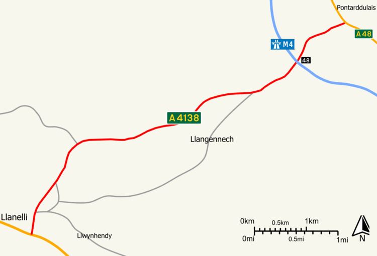
The A4138 is a main road in Carmarthenshire, Wales, connecting Pontarddulais with Llanelli. Running in a north-east to south-west direction, the road connects with M4 Junction 48.

Contents

Map of A4138, Llanelli SA14, UK

North-east of the motorway, the road is classified as a non primary route, while south-west of the motorway, the road is classified as a primary route. In both instances, the road is operated by Carmarthenshire County Council.

Proposals

  • There have been proposals to make the southwestern section from the M4 to Llanelli a trunk road, which would be operated by the Welsh Assembly Government, but these have been rejected.
  • The local council has a policy to reject any planning application that would prevent or adversely affect the implementation of a dual carriageway between the M4 and Trostre.
  • Places served

    Settlements served by the road include:

  • Pontarddulais
  • Hendy
  • Llangennech
  • Dafen
  • Llanelli
  • References

    A4138 road Wikipedia