Puneet Varma (Editor)

A38 autoroute

Updated on
Edit
Like
Comment
Share on FacebookTweet on TwitterShare on LinkedInShare on Reddit
Existed:
  
1973 – present

East end:
  
Dijon

Constructed
  
1973

West end:
  
Pouilly-en-Auxois

Length
  
37 km

Highway system
  
Autoroutes of France

A38 autoroute

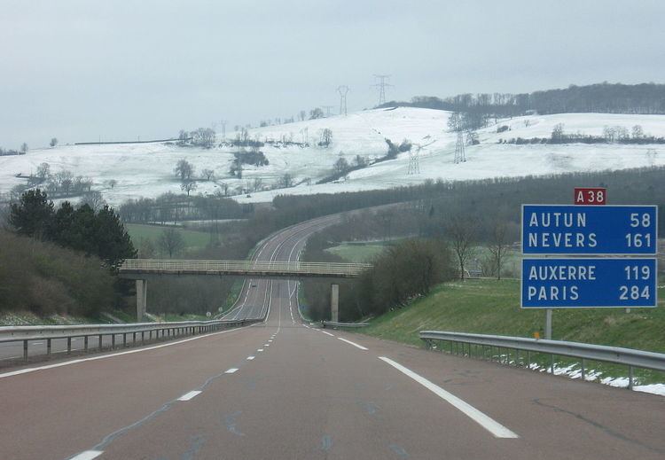
The A38 autoroute is a toll free motorway in Côte-d'Or, France. The road runs between the A6 autoroute at Pouilly-en-Auxois to Dijon.

Contents

Map of A38, France

Junctions

  • (Exchange A6-A38) Junction with the A6 to Paris (north), Dijon (south).
  • 24 (Pouilly-en-Auxois) km 1 Towns served: Pouilly-en-Auxois
  • 25 (Créancey) km 3 Towns served: Créancey
  • 26 (Civry-en-Montagne) km 6 Towns served: Civry-en-Montagne
  • 27 (Aubigny-lès-Sombernon) km 9 Towns served: Aubigny-lès-Sombernon
  • 28 (Échannay) km 11 Towns served: Échannay
  • 29 (Sombernon Montbard) km 16 Towns served: Sombernon, Montbard
  • 30 (Pont-de-Pany) km 21 Towns served: Sainte-Marie-sur-Ouche
  • 31 (Fleurey-sur-Ouche) km 25 Towns served: Fleurey-sur-Ouche
  • 32 (Velars-sur-Ouche) km 30 Towns served: Velars-sur-Ouche
  • 33 (Plombières-lès-Dijon) km 36 Towns served: Plombières-lès-Dijon
  • (Exchange A38-RN5) Autoroute becomes the N5 towards Dijon
  • References

    A38 autoroute Wikipedia