
South end: Basingstoke Length 27.4 km | ||
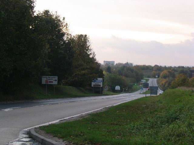 | ||
The A340 is a major road in the south of England, portions of which are known as the Aldermaston Road, Tadley Hill, Basingstoke Road and Tidmarsh Road.
Contents
Map of A340, United Kingdom
Route
Starting in the south of Basingstoke, Hampshire, it runs west, forming the western side of the Basingstoke ringroad, before swinging north to Tadley and then enters Berkshire. It passes the gates of the Atomic Weapons Establishment at Aldermaston, before passing through the village of Aldermaston itself and then joining the A4 at Aldermaston Wharf. After approximately 2.5 miles (4.0 km) north-east, the A340 runs further north to Pangbourne, to the west of Reading. This section of the road is thought to follow the Roman road from Calleva Atrebatum (about 7 miles (11 km) to the south).
References
A340 road Wikipedia(Text) CC BY-SA