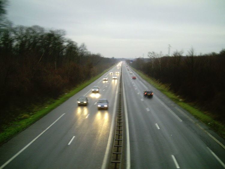
The A33 autoroute is a 26.8 kilometres (16.7 mi) long motorway in northeastern France. It forms part of European route E23.
The road is only 27 km (17 mi) long and connects Nancy to Dombasle-sur-Meurthe. After Lunéville the road becomes the N333 to Blâmont. The road forms an upgrade of the N4 which is now called the N4a.
01 Exchange A31-N4-A33 Autoroute starts with junction on the A31, to Metz (north), Dijon(west), N4 to Nancy Centre to A33 (south). Rest Area: Clairlieu (northbound) Villiers (southbound)02 km 6 Vandoeuvre-les-Nancy Towns served: Nancy, Neuves-Maisons.03 km 10 Exchange A330-A33 Autoroute has junction with the A330, to Nancy Centre (north), Epinal(south), to A33 (east)03a km 11 Fleville-devant-Nancy Towns served: Fleville, Lupcourt04 km 17 St-Nicolas Towns served: St-Nicolas-de-Port.05 km 23 Rosières Towns served: Rosières-aux-Salines, Damelevieres.06 km 24 Dombasle Towns served: Dombasle-sur-Meurthe.07 km 25 Hudiviller Towns served: Hudiviller.The road then becomes the dual carriageway N333 towards Lunéville and Strasbourg

