Trisha Shetty (Editor)

A21 autoroute

Updated on
Edit
Like
Comment
Share on FacebookTweet on TwitterShare on LinkedInShare on Reddit
Length
  
57.5 km

Highway system
  
A21 autoroute

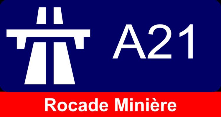
The A21 autoroute is a toll free highway in north western France it is also known as the Rocade Minière. It is 57.6 kilometres (35.8 mi) long.

Contents

Map of A21, France

Completed

  • 01 D301 Start of autoroute Towns at junction with D937 Towns served: Barlin
  • 06 Aix-Noulette Junction with A26 to Calais and Reims.
  • 07 Bully - Liévin Towns served: Bully-les-Mines and Liévin
  • 08 Loos Towns served: Lens
  • 09 Lens-nord Towns Served: Lens
  • 10 RN47 Towns Served: Lille via RN47 and RN41
  • 11 Lens est Towns served: Lens
  • 12 Loison Towns Served: Carvin
  • 13 Lens-centre Towns Served: Lens
  • x A211 Junction with A211 spur to Lens (south) and RN17.
  • 13 Lens-centre Towns served: Lens
  • 14 Noyelles-sous-Lens Towns served: Noyelles-sous-Lens
  • 15 Fouquières-les-Lens Towns Served: Fouquières-lès-Lens
  • 16 Hénin-Beaumont Towns served: Hénin-Beaumont
  • x A1 autoroute Junction with A1 to Paris and Lille.
  • 17 Noyelles-Godault Towns Served: Noyelles-Godault
  • 18 Courcelles-lès-Lens Towns served: Courcelles-lès-Lens
  • 19 RN421 Towns served Douai and Cambrai (via RN43)
  • 20 RN455 Autoroute becomes the N455.
  • In construction

    Upgrade of N455 between Flers-en-Escrebieux and Pecquencourt which is the northern by-pass Douai.

    Proposed

    Upgrade of the N455 between Pecquencourt and Douchy-les-Mines and the A2.

    References

    A21 autoroute Wikipedia