
Existed: 1972 – present North end: Belgian road A7 Constructed 1972 | Length 76 km | |
 | ||
Major cities | ||
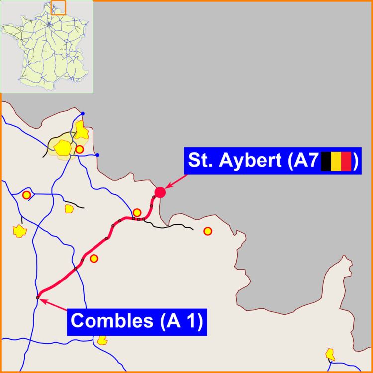
The A2 Autoroute is a French autoroute that travels 76 km from the A1 near the commune of Combles in Picardie to the border with Belgium, where it continues on as the Belgian motorway A7. The entire length is concurrently designated European route E19.
Map of A2, France
From Combles to Cambrai, the autoroute is managed by the Société des Autoroutes du Nord et de l'Est de la France (SANEF) and is a toll road. From Cambrai onward it is a non-toll autoroute managed by the government of the Nord départment. Two lanes travel in each direction.
References
A2 autoroute Wikipedia(Text) CC BY-SA