
Origin time 01:36 Type Strike-slip Max. intensity VII (Very strong) Date 3 September 2000 | Magnitude 5 Mw Total damage $10–50 million Depth 9,400 m | |
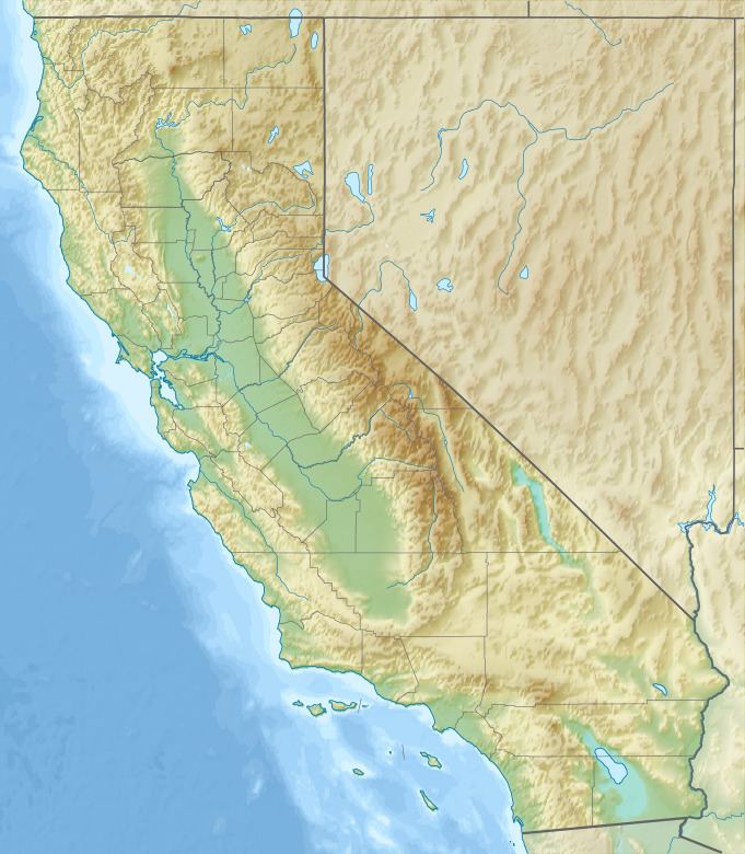 | ||
Areas affected North Bay (San Francisco Bay Area) CaliforniaUnited States Similar 1909 Wabash River eart, 1980 Eureka earthquake, 2003 Alabama earthquake, 2008 Illinois earthquake, 1993 Scotts Mills earthquake | ||
The 2000 Yountville earthquake occurred with a moment magnitude of 5 on a previously unmapped fault, about 3 miles (4.8 km) south southwest of Yountville, California in the Mayacamas Mountain Range under Mount Veeder and about 9 miles (14 km) south northwest of Napa, California. It occurred at 01:36 PDT (08:36 UTC) on September 3.
Contents
Earthquake
The earthquake occurred at a depth of 9.4 km on a northwest oriented fault and occurred through right-lateral strike-slip motion. The epicenter of the earthquake was near the West Napa Fault, a previously unmarked fault.
Damage
Several unreinforced masonry buildings in downtown Napa suffered exterior damage as a result of the earthquake. Sixteen buildings were red tagged following the event and one hundred sixty eight were yellow tagged. Although the magnitude of the primary event was considered only moderate, shaking was intensified in the City of Napa and surrounding area due to the sedimentary soil on the floor of the valley. The earthquake caused an interruption of power to approximately 10,000 Pacific Gas and Electric Company customers. Several hundred houses suffered toppled or cracked chimneys and several instances of broken plumbing due to toppled water heaters were reported. Transportation infrastructure in the affected area did not suffer any significant damage from the earthquake.