
Date December 4, 1930 Magnitude Mw 7.3 Casualties 36 deaths | Origin time 18:51 UTC Depth 35 km (22 mi) | |
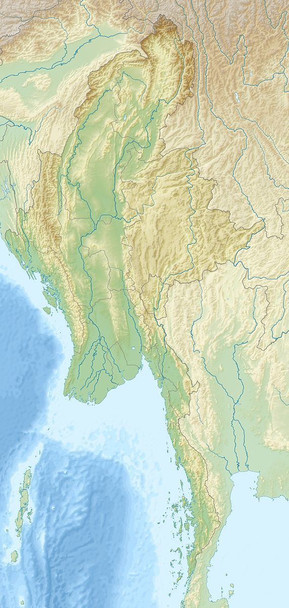 | ||
The 1930 Pyu earthquake occurred on December 4 at 01:21 local time. The epicenter was located north to Bago, Burma, then part of British India. The magnitude of the earthquake was put at Mw 7.3, or Ms 7.3.
Before the earthquake, a tremor occurred at 16:36 UTC, and its shaking was felt much milder in Yangon. 36 deaths were reported in the earthquake. The earthquake caused severe damage to Pyu, about 130 km north of Bago. Many of the masonry buildings in Pyu were wrecked. The area between Nyaunglebin and Toungoo was hardest hit. Many buildings of filmsy constructions were destroyed. Many railway bridges were damaged. Many freight cars and one locomotive were derailed and turned over. The intensity of this earthquake reached Rossi-Forel VIII–IX, corresponding to MM VII–IX. This earthquake could be felt in Bangkok, Thailand, about 660 km away. It was reported that the water in the Khlong Saen Saeb was agitated violently and overflowed its banks more than once.
This earthquake and the Bago earthquake on May 5, 1930, were both located in the area of the Sagaing Fault. The Sagaing Fault is a right-lateral strike-slip fault that accommodates much of the shear component of the highly oblique relative motion between the India Plate and the Sunda Plate. This fault influences segments of the path of the Irrawady north of Mandalay. The Bago earthquake on May 5, 1930, may have triggered the 1930 Pyu earthquake. The distribution of the intensities of the both earthquakes suggests that at least a 50-km long section of the Sagaing Fault between the two events of 1930 did not rupture during either of these two earthquakes.