
Area less than one acre Architect U.S. Army Engineers Opened 1877 Nearest city Mena | Built 1877 (1877) NRHP Reference # 76000448 Added to NRHP 18 November 1976 | |
 | ||
Similar Janssen Park, St Agnes Catholic Church, Ebenezer Monument, Mena City Hall | ||
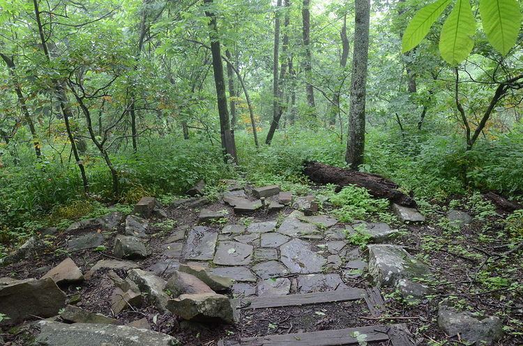
The State Line Marker is a historic boundary marker on the state line between Arkansas and Oklahoma. It is located down a path a short way north of a parking area on Talimena Scenic Drive in Ouachita National Forest, about 17 miles (27 km) northwest of Mena, Arkansas. The marker is an octagonal cast iron pipe, with the legend "48 M" on the north face (signifying its marking of the 48th mile), "1877" on the south side (the year of the marker's erection), "ARK" (for Arkansas) on the east side, and "CHOC" (for Choctaw Territory) on the west side. The pipe is mounted in a stone and mortar base installed by the United States Forest Service in 1974. The marker was placed in 1877 following a series of controversial surveys to demarcate the border between Arkansas and what was then Indian Territory.
The marker was listed on the National Register of Historic Places in 1976. This marker is one of the few surviving markers from this survey that is accessible to the public.