
Maintained by the City of Edmonton West end Campbell Road Province Alberta | Location Edmonton Length 4,400 m Major cities Edmonton | |
 | ||
Major
junctions Campbell Road, 127 Street, 112 Street East end 112 Street to Castle Downs Road | ||
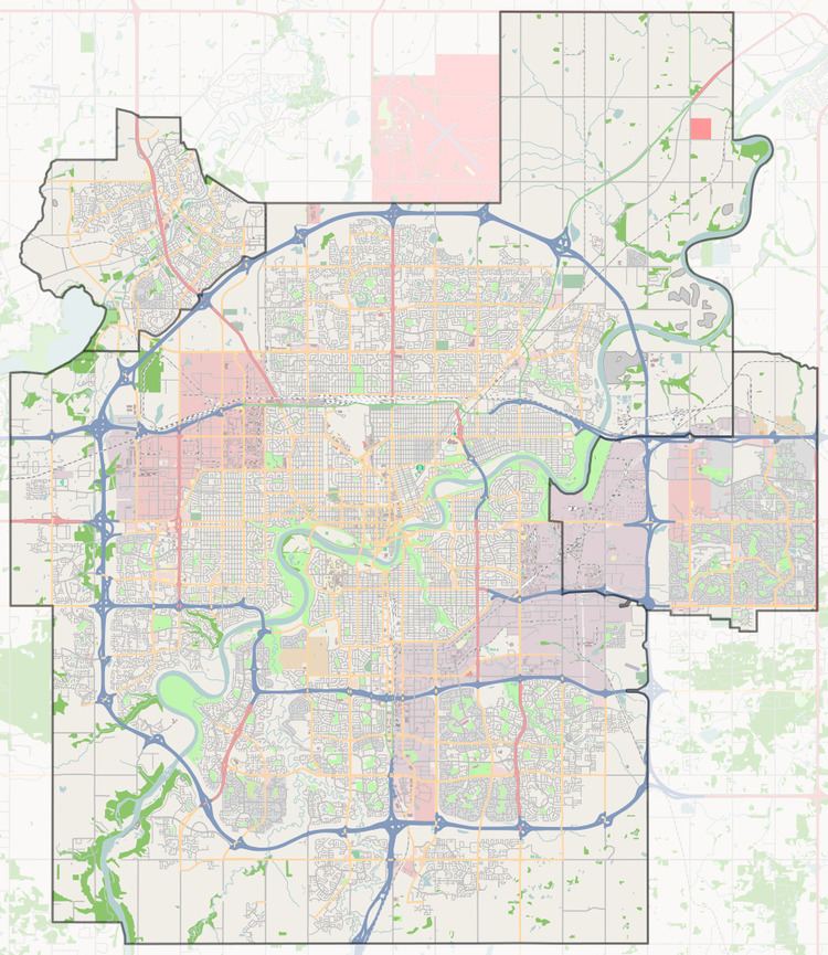
167 Avenue is the designated name of two major arterial roads in north Edmonton, Alberta, Canada, separated by the Castle Downs neighbourhood. It used to be a rural grid road, and as the city expanded the road has been widened where traffic volume has increased. As 167 Avenue runs east, the city runs out of street numbers at rural grid road Meridian (1) Street, so a quadrant system has been put in place by increasing the numbers again in the NE quadrant. Addresses on 33 Street and east have been encouraged to include NW to avoid confusion with addresses in the NE quadrant.
Contents
Neighbourhoods
List of neighbourhoods 167 Avenue runs through, in order from west to east.
West end
Northside
Interchanges and intersections
This is a list of major intersections, starting at the west end of 167 Avenue.
References
167 Avenue, Edmonton Wikipedia(Text) CC BY-SA