
Maintained by the City of Edmonton South end Villa (103) Avenue Province Alberta | Location Edmonton Length 11.7 km Major cities Edmonton | |
 | ||
Major
junctions 107 Avenue, 111 Avenue, 118 Avenue, Yellowhead Trail, 127 Avenue, 137 Avenue, 153 Avenue, 167 Avenue North end City Limits (186 Avenue) | ||
127 Street is a major arterial road in north Edmonton, Alberta, Canada. It takes commuters from central Edmonton to the north neighbourhoods and Sturgeon Valley Subdivisions. It is a one-way street, northbound, from Stony Plain Road (105 Avenue) to 118 Avenue, with a southbound bike lane.
Contents
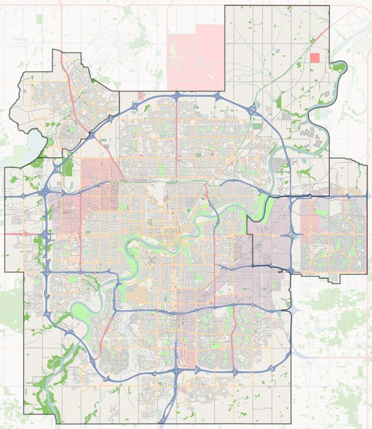
Map of 127 St NW, Edmonton, AB, Canada
Neighbourhoods
List of neighbourhoods 127 Street runs through, in order from south to north.
Interchanges and intersections
This is a list of major intersections, starting at the south end of 127 Street.
References
127 Street, Edmonton Wikipedia(Text) CC BY-SA