
Area 94.76 km² Local time Monday 6:39 AM | Time zone EET (UTC+2) Area code 15 | |
 | ||
Weather 8°C, Wind W at 6 km/h, 88% Humidity Neighborhoods B2, B1, A1, C1, El Ordoneya District, A3, C3, Industrial Area 10th Ramadan, C2 | ||
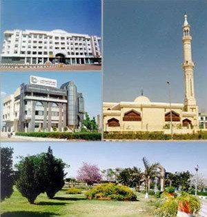
10th of Ramadan (Egyptian Arabic: العاشر من رمضان El ʿAsher Men Ramadan) is a city located in the Sharqia Governorate, Egypt. It is a first generation new urban community, and one of the most industrialized. It enjoys close proximity to the city of Cairo, and is considered part of Greater Cairo. It was founded by Presidential Decree No. 249 in 1977 in a bid to attract foreign and local capital with the intent of providing job opportunities for the country's youth as well as move people away from the Nile Valley to ease the stress on existing infrastructure and reduce congestion.
Contents
- Map of 10th of Ramadan City Ash Sharqia Governorate Egypt
- Location
- Agriculture
- Industry
- labor force
- Infrastructure
- Water supply
- Climate
- References
Map of 10th of Ramadan City, Ash Sharqia Governorate, Egypt
Location
10th of Ramadan is located on the Cairo-Ismailia desert highway, 46 km (29 mi) from Cairo and 20 km (12 mi) from the city Belbeis.
Agriculture
47 million Egyptian pounds have been invested in afforestation in the city.
Industry
Some of the industries present in the city include electronics, food processing, ready made garments, plastic, paper, textile, building materials, steel, pharmaceuticals and furniture , there are many industrial zones in the city
Industrial zones
Source:
labor force
The Population of the city is approximately 500,000 people
Infrastructure
The city Own a very large water supplies, sewers, electrical grids and telecommunications
Water supply
The city has been connected with two Water purification plant with capacity 621,000 m^3/day and Station wells with capacity 20,000 m^3/day
Climate
Köppen-Geiger climate classification system classifies its climate as hot desert (BWh) as the rest of Egypt.