
Arrondissement Marseille | Area 10.84 km² | |
 | ||
Intercommunality Urban Community of Marseille Provence Métropole | ||
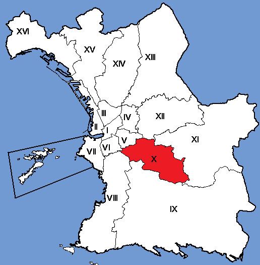
The 10th arrondissement of Marseille is a district (arrondissement) in the city of Marseille. The district is located east of the City. It borders the 11th arrondissement in the east, the 4th and 5th arrondissement in the north and the 8th arrondissement in the southwest.
Contents
- Map of 10th arrondissement of Marseille 13010 Marseilles France
- Neighbourhoods
- Public transport
- Important monuments
- Beneficiaries of supplementary universal health coverage CMU C by neighbourhood
- Families by neighbourhood in 2006
- References
Map of 10th arrondissement of Marseille, 13010 Marseilles, France
Neighbourhoods
The 10th arrondissement of Marseille includes six neighbourhoods (quartiers): la Capelette, Menpenti, Pont-de-Vivaux, Saint-Loup, Saint-Tronc, and La Timone and 25 IRIS including 24 IRIS housing and Prado Park.
Public transport
The Capelette neighbourhood is very poorly served by public transport. Only the number 18 line from Saint Loup to Castellane passes through Capelette.
Important monuments
The Capelette district, named after the disused Capeletto chapel on the Bonnefoy boulevard, has a railroad bridge that crosses the avenue, as well as the church of St Laurent on the St Jean boulevard. It also has a beautiful garden, called the garden of Guy Azaïs.
Beneficiaries of supplementary universal health coverage (CMU-C) by neighbourhood
Supplementary CMU (CMU-C) is a free complementary health that covers what is not covered by compulsory health insurance schemes.
Beneficiaries of the CMU-C by IRIS in 2008
Families by neighbourhood in 2006
Single parent families and families with four children at 1 January 2006