
Settlements 30 Time zone CET (UTC+1) Local time Monday 4:54 AM | Elevation 221 m (725 ft) Area 214 km² | |
 | ||
Weather 9°C, Wind SE at 3 km/h, 53% Humidity | ||
Žitorađa (Serbian Cyrillic: Житорађа, [ʒîtorad͡ʑa]) is a village and municipality located in the Toplica District of the southern Serbia. The municipality includes 30 settlements. According to the 2011 census, the population of the municipality is 16,368 inhabitants.
Contents
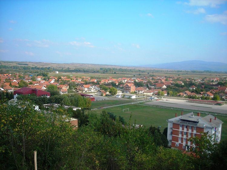
Map of Zitoradja, Serbia
Geography
Žitorađa is 35 km to the south-west from Niš. It lies 10 km from Corridor 10, which connects Serbia with R. Macedonia, Greece and further east.
Settlements
Aside from the town of Žitorađa, the municipality includes the following settlements:
History
The village has its origins in the Eastern Roman (Byzantine) town "Ad Herculum" (Ad Hercules), which existed in the 4th century. The archaeological site of the Byzantine town is known as Žitoradsko kale, located on the Pasjača mountain, while a "Latin church" dating to the period is located in Glašince.
The primary school was founded in 1873. In 1877, the region was liberated from the Ottoman Empire. This event is considered the founding year of Žitorađa municipality.
The village was the site of the pre-ceremonial wedding of Serbian folk singer Svetlana Ražnatović "Ceca", who was born in the village, and Željko Ražnatović "Arkan", a notorious career criminal and paramilitary leader, on 19 February 1995. The whole wedding was broadcast nationwide on RTV Pink.
Economy
The economy of Žitorada is mostly based on agriculture. There are 23,300 hectares of arable land. The farm “December 1st” has the capacity of 30,000,000 fattened pigs per year, and it is one of the most successful in the whole of Serbia.
Demographics
The municipality had 16,368 people according to the 2011 census. The major ethnic groups were: