
Elevation 693 m Local time Monday 4:51 AM | Area 2.72 km² Population 47 (2002) | |
 | ||
Weather 3°C, Wind W at 2 km/h, 93% Humidity | ||
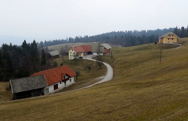
Žirovski Vrh Svetega Antona ([ʒiˈɾoːu̯ski ˈʋəɾh ˈsʋeːtɛga anˈtoːna]) is a dispersed settlement above Gorenja Vas in the Municipality of Gorenja Vas–Poljane in the Upper Carniola region of Slovenia.
Contents
Map of 4224 %C5%BDirovski Vrh Svetega Antona, Slovenia
Name
The name of the settlement was changed from Žirovski Vrh Svetega Antona (literally, 'Žiri Peak of Saint Anthony') to Žirovski Vrh nad Gorenjo vasjo (literally, 'Žiri Peak above Gorenja Vas') in 1955. The name was changed on the basis of the 1948 Law on Names of Settlements and Designations of Squares, Streets, and Buildings as part of efforts by Slovenia's postwar communist government to remove religious elements from toponyms. The name Žirovski Vrh Svetega Antona was restored in 1994.
History
The Rupnik Line, a line of fortifications and weapons installations, was built in the area in the 1930s. Several pillboxes from the line are preserved in the village's territory.