
Elevation 205 m Local time Monday 12:48 AM | Area 22.09 km² | |
 | ||
Weather 11°C, Wind E at 8 km/h, 67% Humidity | ||
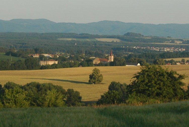
Štefanov is a village and municipality in Senica District in the Trnava Region of western Slovakia.
Contents
Map of 906 45 %C5%A0tefanov, Slovakia
History
In historical records the village was first mentioned in 1392. The church in the village is a Catholic Church built in 1937.
Geography
The municipality lies at an altitude of 205 metres and covers an area of 22.088 km². It has a population of about 1,621 people. It is located in the Záhorie region of Western Slovakia, on the edge between plains and hills.
References
Štefanov Wikipedia(Text) CC BY-SA