
Time zone EET (UTC+2) Population 539 (2012) | Elevation 1,000 m (3,280 ft) Postal code 33700 Area code 0324 | |
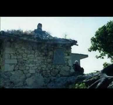 | ||
Şeyhömer is a village Mersin Province, Turkey.
Contents
- Map of C59EeyhC3B6mer Mahallesi 33700 GC3BClnar2FMersin Province Turkey
- Geography
- History
- Economy
- Trivia
- References
Map of %C5%9Eeyh%C3%B6mer Mahallesi, 33700 G%C3%BClnar%2FMersin Province, Turkey
Geography
Şeyhömer is in Gülnar district of Mersin Province. At 36°20′N 33°18′E it is situated to the south of the road connecting Gülnar to west. Its distance to Gülnar is 13 kilometres (8.1 mi) and to Mersin is 163 kilometres (101 mi). The population of Şeyhömer was 559 as of 2012.
History
The Turkmen village was founded in the fourteenth century by a religious leader named Şeyh Ömer from Bukhara (a city in modern Uzbekistan). Şeyh Ömer's tomb is in the village . There are also Roman age rock tombs around the village.
Economy
The village is also a yayla of Aydıncık residents who seek cooler places to spend the summers. The major economic activity is agriculture. Cereals as well as squash, bean and garbanzo are among the crops. Fruits are also produced.
Trivia
According to mythology Şeyh Ömer helped Karamanoğlu sultan in capturing Mamure Castle.