
Time zone CET (UTC+1) Car plates DSW Population 23,175 (2014) | County Świdnica Postal code 58-160 Area 30.45 km² Local time Sunday 8:32 PM | |
 | ||
Gmina Świebodzice (urban gmina) Weather 14°C, Wind NW at 10 km/h, 67% Humidity Points of interest Książ Landscape Park, Mury miejskie, Mury obronne w Świdnicy, Ruiny kościoła św. Anny | ||
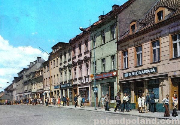
Świebodzice [ɕfjɛbɔˈd͡ʑit͡sɛ] is a town in south-western Poland with 23,175 inhabitants (as of 2014). It is situated in Świdnica County, Lower Silesian Voivodeship (from 1975–1998 it was in the former Wałbrzych Voivodeship).
Contents
Map of %C5%9Awiebodzice, Poland
The town is situated close to Książ Castle, which during World War II, together with the underground cave complex, was expanded to create private quarters for Adolf Hitler.
Prior to 1945 the town was in Germany and known as Freiburg in Schlesien. After World War II the region was placed under Polish administration by the Potsdam Agreement under territorial changes demanded by the Soviet Union. Most Germans fled or were expelled and replaced with Poles expelled from the Polish areas annexed by the Soviet Union.
Old fortifications from around 1279, the year the town was founded, still remain.