
Country Poland Car plates PSR Capital Środa Wielkopolska | Seat Środa Wielkopolska Area 623.2 km² | |
 | ||
Gminas Total 5
Gmina Dominowo
Gmina Krzykosy
Gmina Nowe Miasto nad Wartą
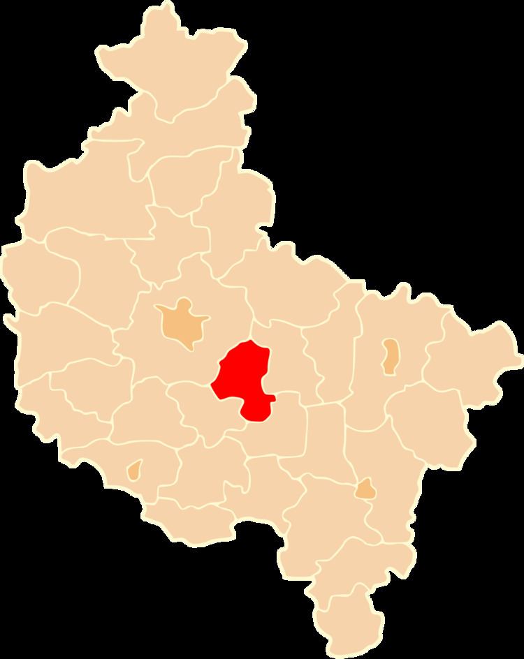
Gmina Środa Wielkopolska
Gmina Zaniemyśl Voivodeship Greater Poland Voivodeship Points of interest Średzka Kolej Powiatowa, Rezerwat Archeologiczny – Gród Pi, Dwór w Koszutach, Stara Brama Cukrownii | ||
Środa Wielkopolska County (Polish: powiat średzki) is a unit of territorial administration and local government (powiat) in Greater Poland Voivodeship, west-central Poland. It came into being on January 1, 1999, as a result of the Polish local government reforms passed in 1998. Its administrative seat and only town is Środa Wielkopolska, which lies 32 kilometres (20 mi) south-east of the regional capital Poznań.
Contents
Map of %C5%9Aroda Wielkopolska County, Poland
The county covers an area of 623.18 square kilometres (240.6 sq mi). As of 2006 its total population is 54,568, out of which the population of Środa Wielkopolska is 21,635 and the rural population is 32,933.
Neighbouring counties
Środa Wielkopolska County is bordered by Września County to the east, Jarocin County to the south, Śrem County to the south-west and Poznań County to the north-west.
Administrative division
The county is subdivided into five gminas (one urban-rural and four rural). These are listed in the following table, in descending order of population.