
Area 79.46 km² Local time Monday 2:14 AM | Phone number 0243-48-3131 Population 8,442 (Dec 2014) | |
 | ||
Weather 0°C, Wind W at 11 km/h, 93% Humidity | ||
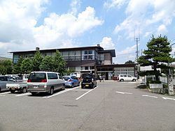
Ōtama (大玉村, Ōtama-mura) is a village located in Adachi District, Fukushima Prefecture, in northern Honshū, Japan. As of December 2014, the village had an estimated population of 8,442 and a population density of 106 persons per km2. The total area was 79.46 km2.
Contents
- Map of Otama Adachi District Fukushima Prefecture Japan
- Geography
- Neighboring municipalities
- History
- Economy
- Education
- Railway
- Highway
- References
Map of Otama, Adachi District, Fukushima Prefecture, Japan
Geography
Ōtama is located in north-central Fukushima prefecture, sandwiched between the cities of Kōriyama and Nihonmatsu.
Neighboring municipalities
History
The area of present-day Ōtama was part of ancient Mutsu Province and the area has many burial mounds from the Kofun period. The area formed part of the holdings of Nihonmatsu Domain during the Edo period. After the Meiji Restoration, it was organized as part of Nakadōri region of Iwaki Province.
Ōtama Village was formed on March 31, 1955 with the merger of the villages of Oyama and Tamanoi, both in Adachi District.
Economy
The economy of Ōtama is primarily agricultural.