
District Pınarhisar Time zone EET (UTC+2) Population 295 (2011) | Elevation 412 m (1,352 ft) Postal code 39300 Area code 0288 | |
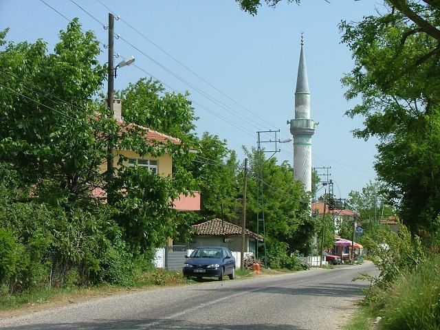 | ||
İslambeyli is a village in Pınarhisar district of Kırklareli Province, Turkey, It is situated in the Eastern Thrace plains at 41°42′N 27°37′E. The distance to Pınarhisar is 17 kilometres (11 mi) . The population of the village is 295 as of 2011. The old name of this village is Urumbeyli. It was a Bulgarian village during the Ottoman Empire era. But after the Second Balkan War the Bulgarian population was forced to leave the settlement.
Map of %C4%B0slambeyli, 39300 %C4%B0slambeyli K%C3%B6y%C3%BC%2FP%C4%B1narhisar%2FK%C4%B1rklareli, Turkey
References
İslambeyli, Pınarhisar Wikipedia(Text) CC BY-SA