
Country Vietnam Capital Hậu Nghĩa Area 426 km² Local time Sunday 5:30 PM | Region Mekong Delta Website www.longan.gov.vn Province Long An Province University Tân Tạo University | |
 | ||
Time zone Indochina Time (UTC+07:00) Weather 27°C, Wind NE at 18 km/h, 82% Humidity | ||
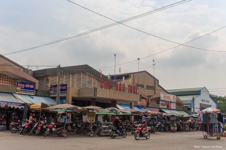
Đức Hòa is a rural district (huyện) of Long An Province in the Mekong Delta region of Vietnam.
Contents
Map of %C4%90%E1%BB%A9c H%C3%B2a, Long An Province, Vietnam
Divisions
The district is divided into communes:
As of 2003 the district had a population of 199,181. The district covers an area of 426 km². The district capital lies at Hậu Nghĩa.
References
Đức Hòa District Wikipedia(Text) CC BY-SA