
Country Vietnam Capital Chùa Hang Area 462 km² Province Thai Nguyen Province | Region Northeast Time zone UTC + 7 (UTC+7) Local time Sunday 5:21 PM | |
 | ||
Weather 24°C, Wind S at 11 km/h, 54% Humidity | ||
Đồng Hỷ is a rural district of Thái Nguyên Province in the Northeast region of Vietnam. The Soi River flows through the district. As of 2003, the district had a population of 122,932 . The district covers an area of 462 km². The district capital lies at Chùa Hang.
Contents
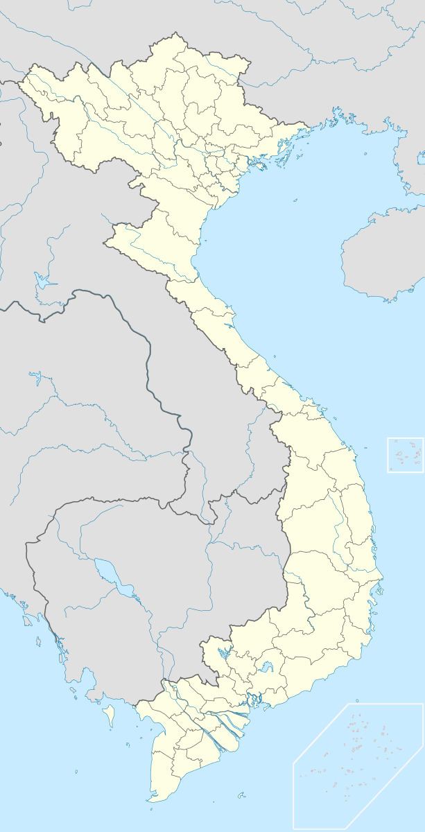
Map of %C4%90%E1%BB%93ng H%E1%BB%B7 District, Thai Nguyen, Vietnam
Administrative divisions
Chùa Hang, Trại Cau, Sông Cầu, Hóa Thượng, Huống Thượng, Nam Hòa, Tân Lợi, Cây Thị, Hợp Tiến, Khe Mo, Văn Hán, Hóa Trung, Quang Sơn, Văn Lăng, Tân Long, Hòa Bình, Minh Lập, Linh Sơn.
References
Đồng Hỷ District Wikipedia(Text) CC BY-SA