
Country Vietnam Capital Phước Hải Area 190 km² Local time Sunday 5:12 PM | Region South East Time zone UTC + 7 (UTC+7) Province Ba Ria–Vung Tau Province | |
 | ||
Weather 28°C, Wind E at 13 km/h, 78% Humidity | ||
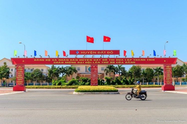
Đất Đỏ is a rural district of Bà Rịa–Vũng Tàu Province in the Southeast region of Vietnam. As of 2003, the district had a population of 62,683. The district covers an area of 190 km². The district capital lies at Phước Hải.
Contents
Map of %C4%90%E1%BA%A5t %C4%90%E1%BB%8F District, Ba Ria - Vung Tau, Vietnam
This district is the home area of the prominent communist Võ Thị Sáu.
Administrative divisions
The district is divided administratively into 2 townships, Đất Đỏ the capital and Phước Hải. Đất Đỏ contains the following wards: Phước Long Thọ, Long Tân, Láng Dài, Lộc An, Phước Hội, Long Mỹ
References
Đất Đỏ District Wikipedia(Text) CC BY-SA