
Area code(s) +389 02 Elevation 447 m Mayor Jovan Pejkovski | Time zone CET (UTC+1) Car plates SK Local time Sunday 11:03 AM | |
 | ||
Municipality Čučer-Sandevo Municipality Weather 15°C, Wind SE at 3 km/h, 45% Humidity | ||
Čučer-Sandevo (Macedonian: Чучер-Сандево ) is a village in Republic of Macedonia. It is a seat of the Čučer-Sandevo Municipality.
Contents
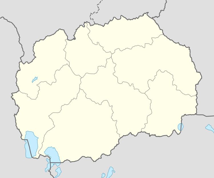
- Map of Chucher Sandevo Macedonia FYROM
- Geography
- History
- Demographics
- Anthropology
- Notable people
- References
Map of Chucher-Sandevo, Macedonia (FYROM)
Geography
The village is located on southwestern parts of Skopska Crna Gora. Čučer-Sandevo is 15 km away from Skopje.
History
According to Bulgarian ethnographer Vasil Kanchov, in 1900 the village had 360 inhabitants who were Christians (Macedonians). According to Bulgarian sources, the village was settled by Serbs in the period between 1689 and 1739. The original name of the village was Čučer; Sandevo ("Sande's") was added after World War II in honour of Aleksandar Urdarevski-Sande.
Demographics
According to the 2002 census, Čučer-Sandevo had a population of 299 inhabitants, of whom 180 were Serbs (60%), 117 Macedonians (39%), 1 Albanian and 1 other.
Anthropology
According to Skopska Crna Gora (1971), the following families (or "brotherhoods") lived in Čučer.