
Elevation 195 m | Area 10.98 km² | |
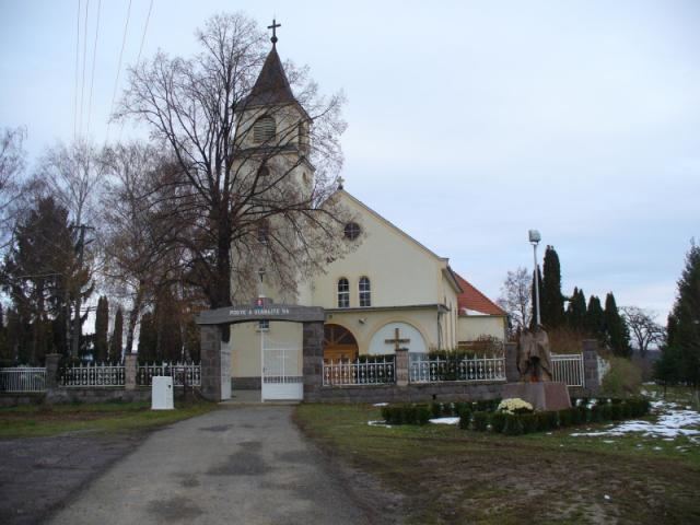 | ||
Čierne Kľačany is a village and municipality in Zlaté Moravce District of the Nitra Region, of Slovakia. It is best known for the archeological find of the Pyxis of Čierne Kľačany.
Contents
Map of %C4%8Cierne K%C4%BEa%C4%8Dany, Slovakia
History
In historical records the village was first mentioned in 1209.
Geography
The municipality lies at an altitude of 190 metres and covers an area of 10.977 km². It has a population of about 1,120 people.
Ethnicity
The population is roughly 99% Slovak.
Facilities
The village has a small public library and football pitch.
References
Čierne Kľačany Wikipedia(Text) CC BY-SA