
Area 5.29 km² | Local time Sunday 10:40 AM | |
 | ||
Weather 16°C, Wind SE at 10 km/h, 45% Humidity | ||
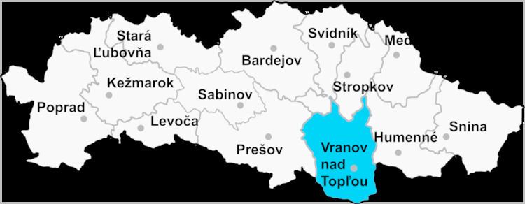
Čičava is a village and municipality in Vranov nad Topľou District in the Prešov Region of eastern Slovakia.
Contents
Map of 093 01 %C4%8Ci%C4%8Dava, Slovakia
History
In historical records the village was first mentioned in 1270.
Geography
The municipality lies at an altitude of 155 metres and covers an area of 5.284 km².
Population
According to the 2011 census, the municipality had 1,192 inhabitants. 590 of inhabitants were Slovaks, 518 Roma and 84 others and unspecified.
References
Čičava Wikipedia(Text) CC BY-SA