
Elevation 83 m (272 ft) Postal code 23215 Area 12 km² Population 1,391 (2002) | Time zone CET (UTC+1) Area code(s) +381(0)23 Local time Sunday 10:18 AM | |
 | ||
Weather 19°C, Wind SE at 27 km/h, 33% Humidity | ||
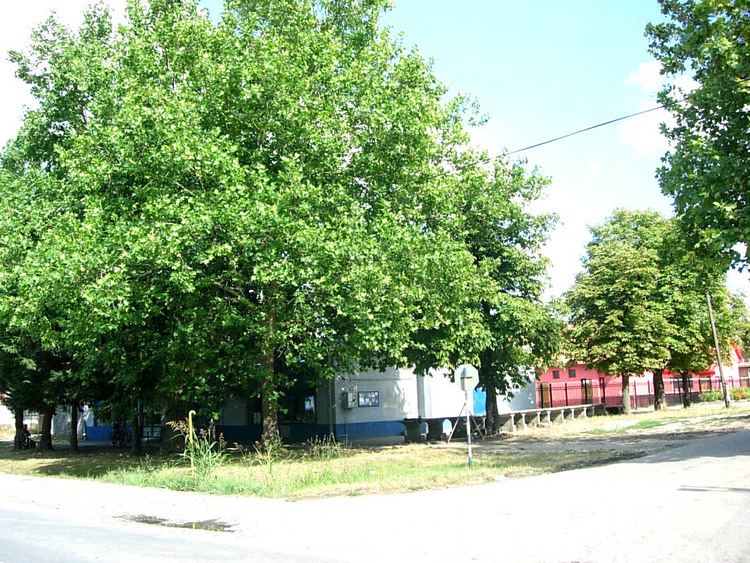
Čestereg (Serbian Cyrillic: Честерег) is a village in Serbia. It is situated in the Žitište municipality, Central Banat District, Vojvodina province. The village has a Serb ethnic majority and its population numbering 1,391 people (2002 census).
Contents
Map of Cestereg, Serbia
Name
In Serbian, the village is known as Честерег or Čestereg, in Hungarian as Csősztelek, in German as Tschesterek or Neuhatzfeld, and in Croatian as Čestereg.
History
The village was first mentioned in 1332 as Cherezek. During the Ottoman invasion it was devastated. In the 19th century, the area of present-day village belonged to Count József Csekonics (a Hungarian of Croatian descent). The modern village was founded in 1828. Its first inhabitants were Hungarians, but since they left from the village, Csekonics settled Germans in 1829. In 1900, the population of the village was composed of 2,001 Germans, 673 Hungarians, and 64 Romanians. After World War II, as a consequence of the war events, German population fled from the village and was replaced with Serb settlers from Herzegovina and Montenegro.