
Address 412 01 Třebušín, Czechia Type of rock Basalt | Elevation 836 m (2,743 ft) Area 1,266 km² Phone +420 416 574 611 | |
 | ||
Parent range Krušné Hory Subprovince | ||
Lovci z itk esk st edoho
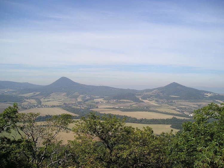
The České středohoří, Central Bohemian Uplands or Bohemian Central Uplands is a mountain range located in northern Bohemia, the Czech Republic. The range is about 80 km long, spanning from Česká Lípa (northeast) to Bílina (southwest) and from Litoměřice (south) to Děčín (north), intersected by the river Elbe. The mountains are of volcanic origin, with distinctively sharp solitary peaks.
Contents
The name středohoří can be translated into English as "middle mountains". However, the sense of the word "middle" in this context often misunderstood as being located in the middle of Bohemia. In fact the designation refers to moderate elevation of the mountains. The correct meaning is medium-sized Czech mountains. Another translation is "central uplands" (as opposed to "highlands"), the range being part of the European Central Uplands, hence Bohemian Central Uplands would be a reasonable description.
České středohoří is a nature reserve (Czech: Chráněná krajinná oblast (abbr. CHKO), and the D8 motorway connecting Prague and Dresden traverses the mountains. This led to a number of controversies, but despite them the motorway was after many delays finally completed in December 2016.
In the development of the game ARMA 2 data of this area was used to create the landscape for the game.