
Elevation 170 m | Area 5.5 km² | |
 | ||
Tmop 2016 33r z erven hr dok jelenec chatov oblas
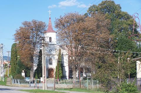
Červený Hrádok is a village and municipality in Zlaté Moravce District of the Nitra Region, in western-central Slovakia.
Contents
- Tmop 2016 33r z erven hr dok jelenec chatov oblas
- Map of 951 82 C48CervenC3BD HrC3A1dok Slovakia
- N vrh pravy are lu z erven hr dok
- History
- Geography
- References
Map of 951 82 %C4%8Cerven%C3%BD Hr%C3%A1dok, Slovakia
N vrh pravy are lu z erven hr dok
History
In historical records the village was first mentioned in 1386.
Geography
The municipality lies at an altitude of 170 metres and covers an area of 5.5 km². It has a population of about 430 people.
References
Červený Hrádok Wikipedia(Text) CC BY-SA