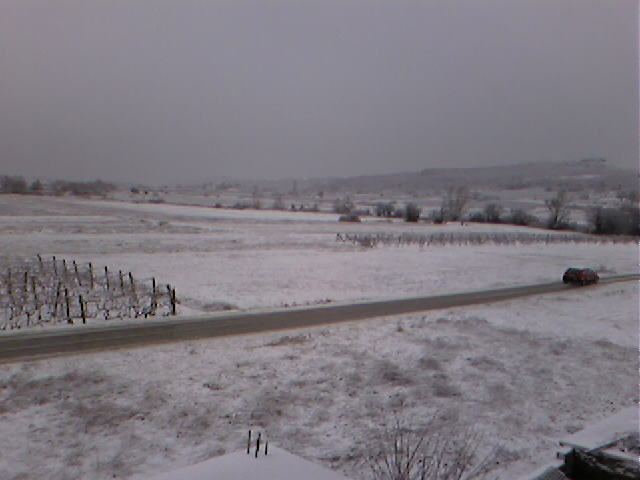
Local time Sunday 9:47 AM | ||
 | ||
Weather 17°C, Wind E at 6 km/h, 40% Humidity | ||
Viii b 98 99 erin
Čerin is a town located in the Herzegovina region of Bosnia and Herzegovina. It is in the municipality of Čitluk in the Herzegovina-Neretva Canton of the Federation of Bosnia and Herzegovina.
Contents
- Viii b 98 99 erin
- Map of C48Cerin Bosnia and Herzegovina
- Ma kara fest 2016 o erin
- History
- Demographics
- References
Map of %C4%8Cerin, Bosnia and Herzegovina
Ma kara fest 2016 o erin
History
The town has traditionally been the center of upper Brotnjo. The town was home to the Church of St. Stephen, which was toppled by the Ottoman Empire in 1668. In 1938, HKD Napredak opened a branch office in Čerin.
Demographics
In 1991, the town had a population of 2,117, composed of 2,087 Croats (99%) and 30 Bosniaks (1%).
References
Čerin Wikipedia(Text) CC BY-SA
