
Area 14.77 km² | ||
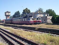 | ||
Čata (Hungarian: Csata) is a village and municipality in the Levice District in the Nitra Region of south-west Slovakia.
Contents
Map of 935 63 %C4%8Cata, Slovakia
History
In historical records the village was first mentioned in 1386.
Geography
The village lies at an altitude of 132 metres and covers an area of 14.771 km². It has a population of about 1200 people.
Facilities
The village has a public library a gym and a football pitch.
References
Čata Wikipedia(Text) CC BY-SA