
Local time Sunday 9:22 AM | ||
 | ||
Weather 14°C, Wind S at 3 km/h, 57% Humidity | ||
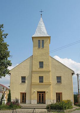
Čaňa (Hungarian: Hernádcsány) is a village and municipality in Košice-okolie District in the Košice Region of eastern Slovakia.
Contents
- Map of 044 14 C48CaC588a Slovakia
- History
- Geography
- Ethnicity
- Government
- Economy and facilities
- Culture
- Sport
- Transport
- References
Map of 044 14 %C4%8Ca%C5%88a, Slovakia
History
In historical records the village was first mentioned in 1164.
Geography
The village lies at an altitude of 172 metres and covers an area of 11.555 km². It has a population of about 5000 people.
Ethnicity
The population is almost entirely Slovak in ethnicity.
Government
The village has its own police force and fire brigade but the district and tax offices are located at Košice.
Economy and facilities
The village also has developed medical facilities including a Pharmacy and outpatient facilities for children and adolescents and a gynaecologist. The village also has a Slovakian bank and insurance branch, and a post office.
Culture
The village has a public library and a DVD rental store, and a number of food stores. Cana has its own cinema and the village is connected to satellite television.
Sport
The village has a football pitch, hockey stadium, a swimming pool and a gymnasium.
Transport
The village has a railway station. Cana also has a garage and a facility for car parts.