
Elevation 1,272 m (4,173 ft) | ||
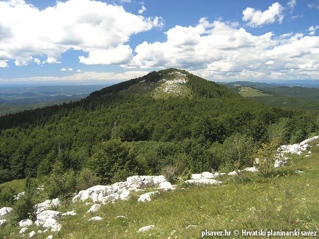 | ||
Ćićarija (Slovene: Čičarija, Italian: Cicceria, Monti della Vena, German: Tschitschen Boden), is a mountainous plateau in the northern and north-eastern part of Istria peninsula, 45 km long and 10–15 km wide. It mostly lies in Croatia, while its northern part lies in southwestern Slovenia (the traditional region of Inner Carniola). The highest peak is Veliki Planik at 1,272 m.a.s.l.
Contents
Map of Cicarija, 6243 Obrov, Slovenia
At 7 inhabitants per square kilometer (2001), Ćićarija is sparsely populated, due to its karst landscape, poor economic development and rough climate.
NameEdit
The name Ćićarija is derived from the South Slavic term Ćić, which refers to Istrians living north of the Učka Mountains, originally referring to the Vlachs and Istro-Romanians of the area.
References
Ćićarija Wikipedia(Text) CC BY-SA