
Primary inflows Max. depth 109 m (358 ft) Outflow location Þjórsá | Primary outflows Þjórsá Surface area 88 km (34 sq mi) Area 88 km² Inflow source Þjórsá | |
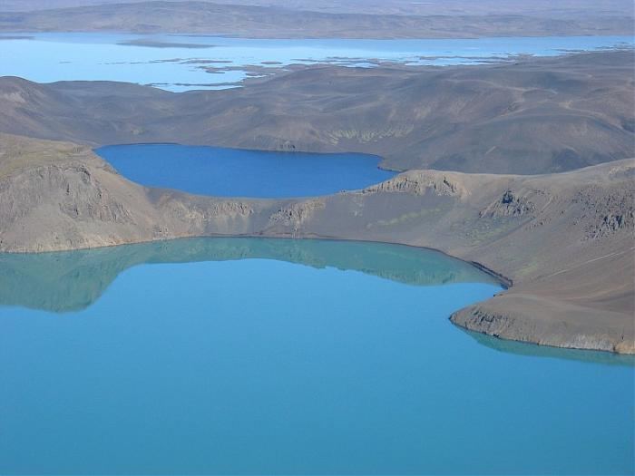 | ||
Þórisvatn, is the largest lake of Iceland, situated at the south end of Sprengisandur highland road within the highlands of Iceland.
Map of %C3%9E%C3%B3risvatn, Iceland
It is a reservoir of a surface about 88 km² and uses the energy of the river Þjórsá, which comes down from the glacier Hofsjökull. Here in the south, it is exploited in a power station. It is like other Icelandic lakes, which are mostly glacial lakes or volcanic lakes, it normally has a stark green color.
References
Þórisvatn Wikipedia(Text) CC BY-SA