
Elevation 430 m Local time Sunday 6:39 AM | Region Plzeň Postal code 338 26 Area 4.35 km² Population 238 (31 Dec 2008) | |
 | ||
Weather 11°C, Wind W at 11 km/h, 76% Humidity | ||
jezd u svat ho k e
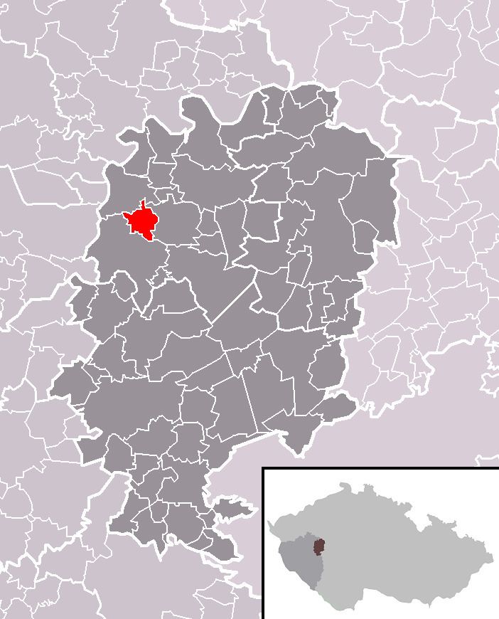
Újezd u Svatého Kříže is a village and municipality (obec) in Rokycany District in the Plzeň Region of the Czech Republic.
Contents
- jezd u svat ho k e
- Map of 338 24 C39Ajezd u SvatC3A9ho KC599C3ADC5BEe Czechia
- Svatomartinsk slavnosti 2015 jezd u svat ho k e
- References
Map of 338 24 %C3%9Ajezd u Svat%C3%A9ho K%C5%99%C3%AD%C5%BEe, Czechia
The municipality covers an area of 4.35 square kilometres (1.68 sq mi), and has a population of 238 (as of 31 December 2008).
Újezd u Svatého Kříže lies approximately 13 kilometres (8 mi) north of Rokycany, 19 km (12 mi) north-east of Plzeň, and 67 km (42 mi) west of Prague.
Svatomartinsk slavnosti 2015 jezd u svat ho k e
References
Újezd u Svatého Kříže Wikipedia(Text) CC BY-SA